The Pennsylvania collection
Greene County
22 places. A county full of stories.
Discover local legends, historic places and the stories of sites you can explore virtually.
Explore this county on the map →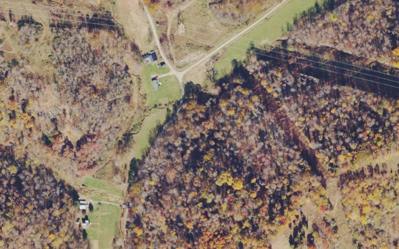 Outdoors · Aerial view
Big Tree
Big Tree was a small Greene County community whose name survives in historical maps and local family histories. A 1911 Rand McNally map includes…
 Outdoors · AI illustration
Crow Rock monument
Crow Rock in Crabapple Hollow, Greene County, commemorates an attack on four sisters on May 1, 1791. Christina Crow escaped; Elizabeth, Susanna and…
 Outdoors · Aerial view
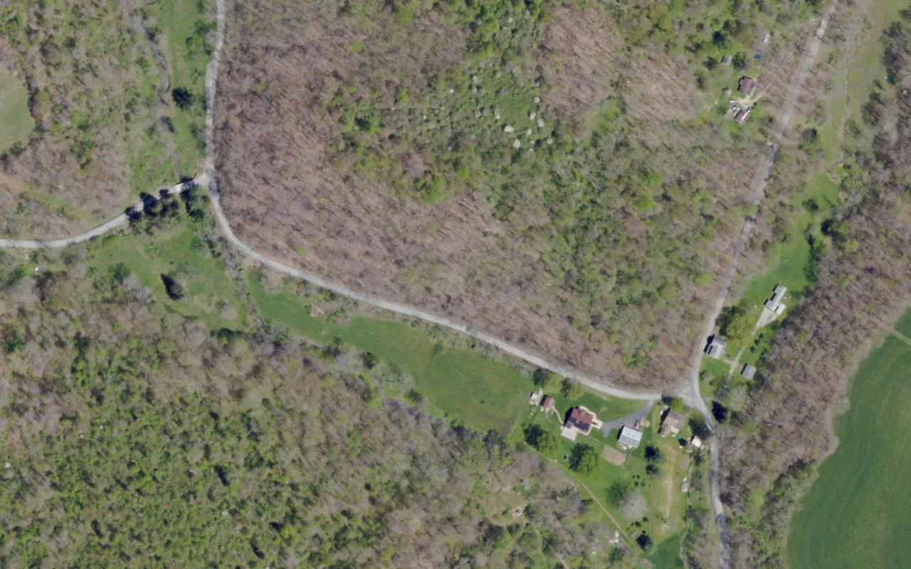
Deer Lick Station crossroads
The names Deer Lick Station Road and W&W Railroad Road preserve the history of a small stop on the Waynesburg & Washington Railroad. A…
 Cemeteries
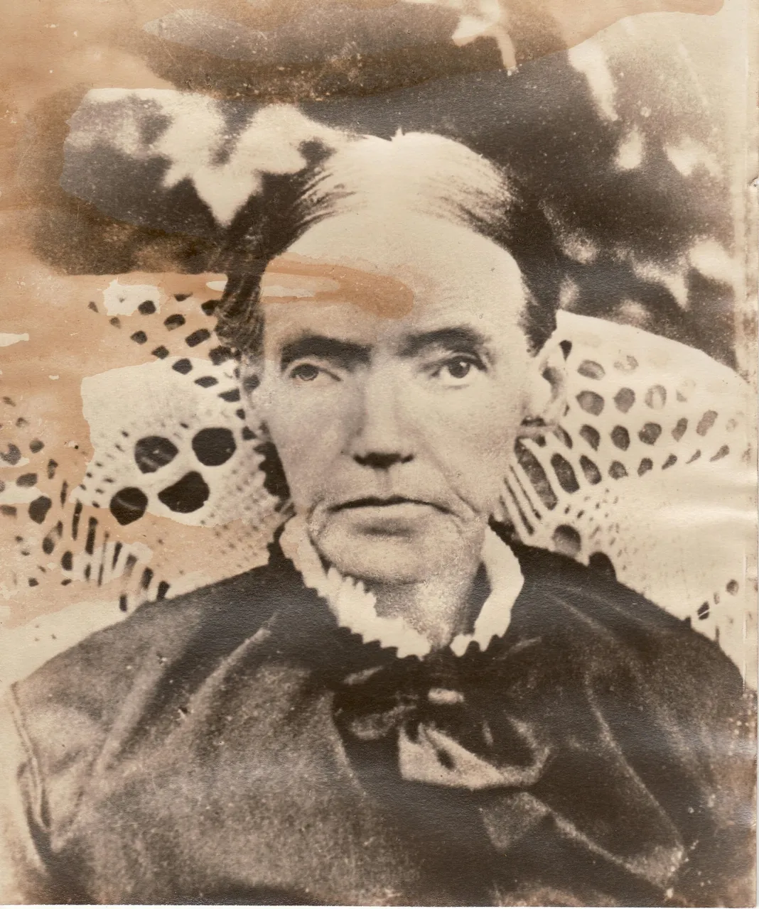
Green Mount Cemetery
A stained-glass portrait inside the Martin family mausoleum gives Green Mount Cemetery in Waynesburg one of its best-known local legends. The woman…
 Cemeteries
Greene Academy of Art
Greene Academy of Art occupies an old school building in Carmichaels, beside Laurel Point Cemetery. Local accounts link the two places through a…
 Historic homes
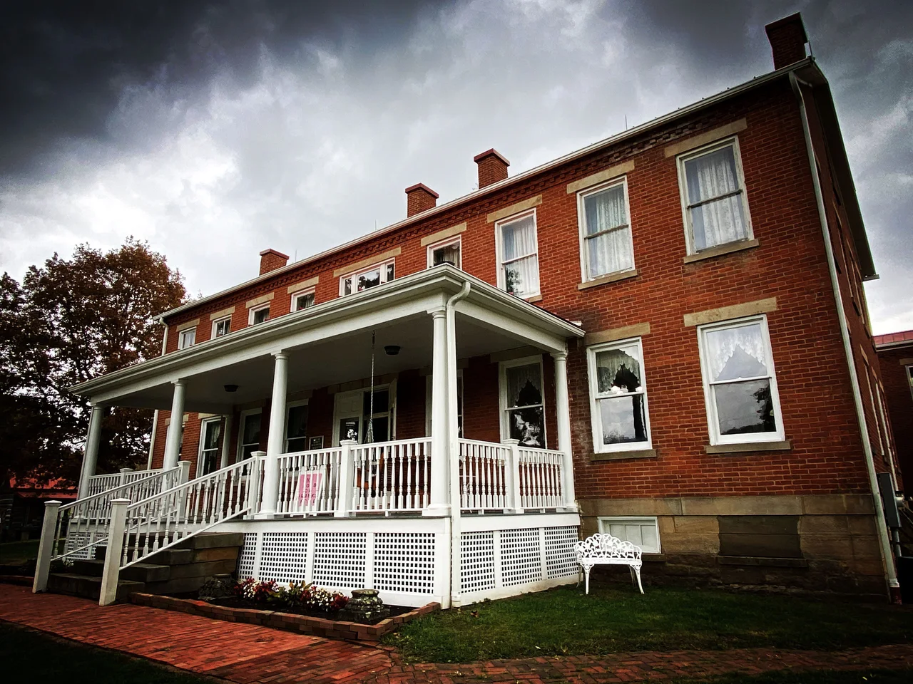
Greene County Historical Society Museum
The Greene County Historical Society Museum occupies the former county home near Waynesburg. Opened in 1862, the institution housed people who were…
 Outdoors · Aerial view
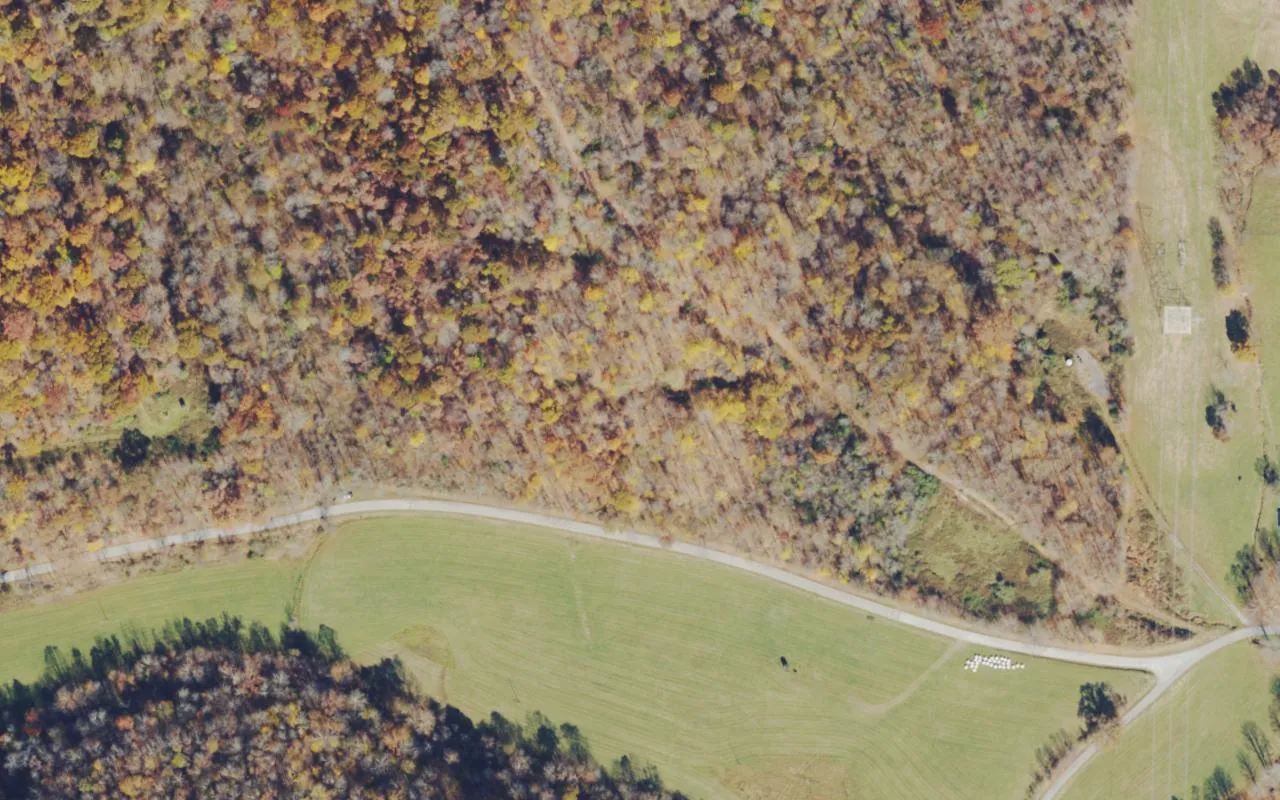
Hagan Creek Road
Hagan Creek Road lies in Gilmore Township, near Pennsylvania’s southern border. The road and nearby Hero Road are identified in state environmental…
 Inns & businesses · Aerial view
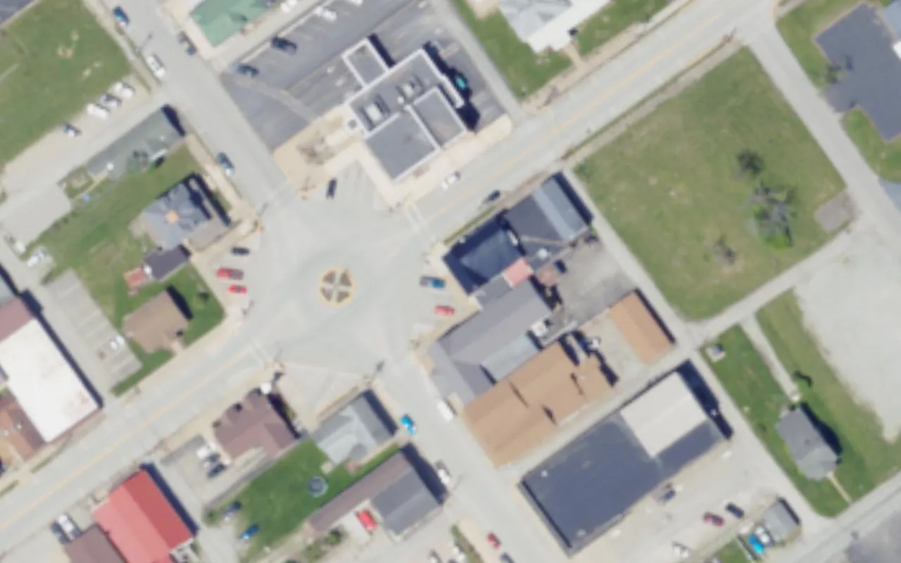
Hartley Inn
The Hartley Inn stands on South Market Street in Carmichaels. Built in 1847, the red-brick inn now operates as a restaurant, with antiques furnishing…
 Historic homes
Historic Corbett’s Mill area across Tenmile Creek from Clarksville
The sandstone house above Tenmile Creek near Clarksville was the home of United Mine Workers reformer Joseph 'Jock' Yablonski, his wife Margaret and…
 Outdoors · Aerial view
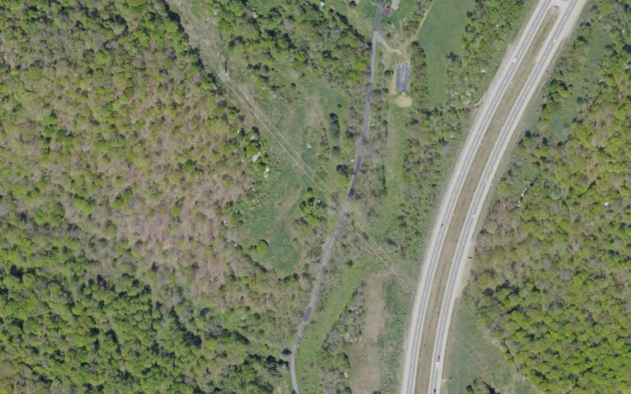
Mason Ridge Road
Mason Ridge Road is linked with the Warrior Trail in southern Greene County. The trail follows an old route across the hills between the Monongahela…
 Bridges & railways · Aerial view
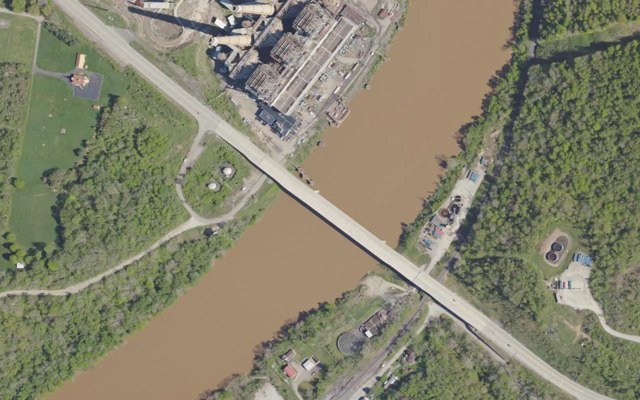
Masontown Bridge
Masontown Bridge carries Pennsylvania Route 21 over the Monongahela River between Greene and Fayette counties. The current crossing opened in 2015,…
 Outdoors · Aerial view
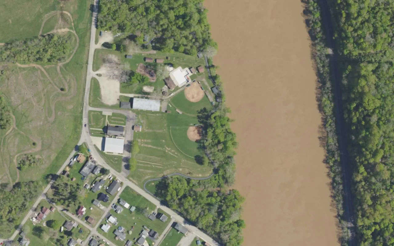
Mon View Park
Mon View Park is a county recreation area in Greensboro, beside the Monongahela River. Its pool, skating rink and ball fields have served generations…
 Outdoors · Aerial view
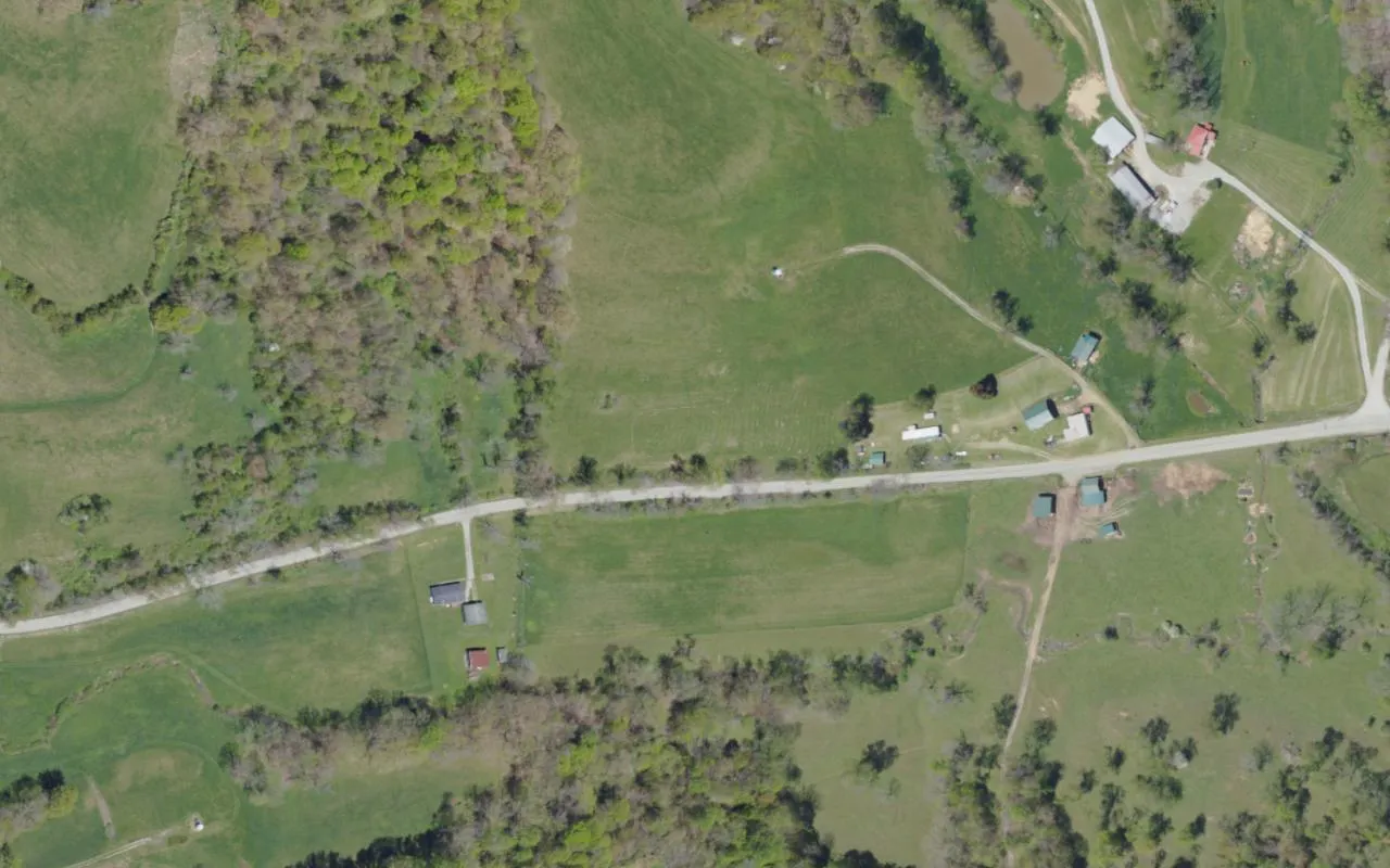
Muddy Creek Road
Muddy Creek Road crosses the Cumberland Township area of Greene County. County folklore links this road with UFOs and a doglike humanoid. The two…
 Outdoors · Aerial view
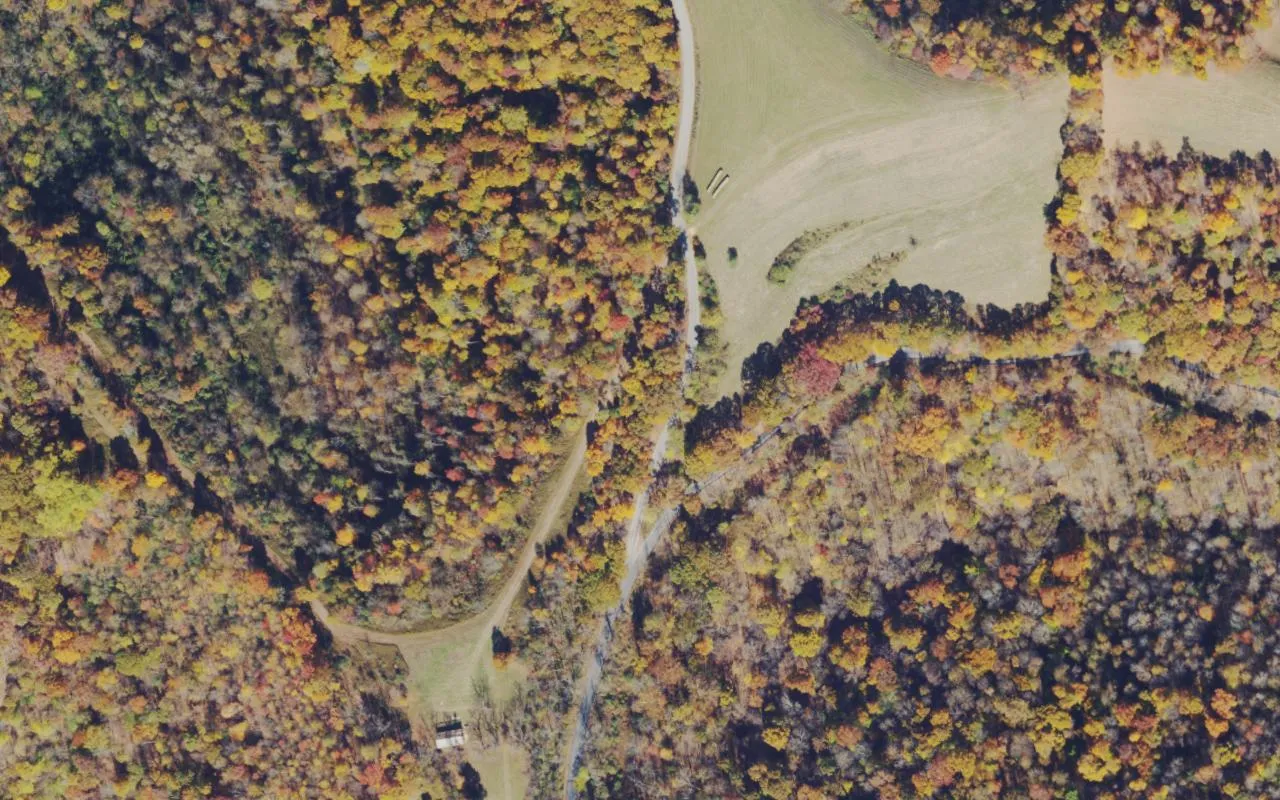
Ned Ridge Road
Ned Ridge Road runs through the hills of southwestern Greene County. PennDOT identifies it as part of Route 3001, and cemetery surveys use it when…
 Cemeteries · Aerial view
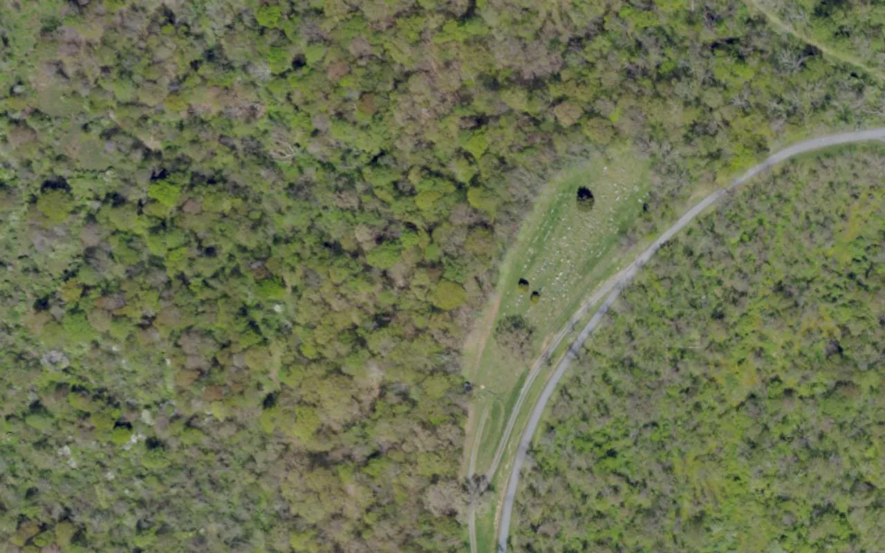
Phillips Cemetery
Phillips Cemetery is a burial ground in Wayne Township, Greene County. The Cornerstone Genealogical Society lists it separately from New Phillips…
 Bridges & railways
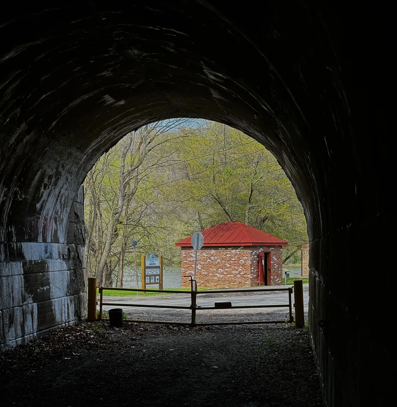
Pumpkin Run Park entrance off Water Street
Stovepipe is the headless figure in several Rices Landing legends, each explaining why a man roams the area with a length of pipe where his head…
 Outdoors
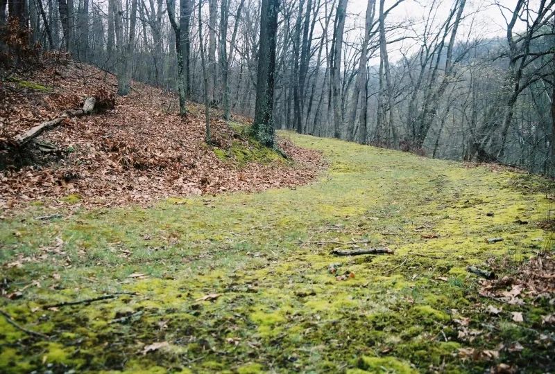
Ryerson Station State Park
Ryerson Station State Park opened to the public in 1967, taking its name from the nearby frontier outpost known as Ryerson’s Fort. Its woodland…
 Outdoors · Aerial view
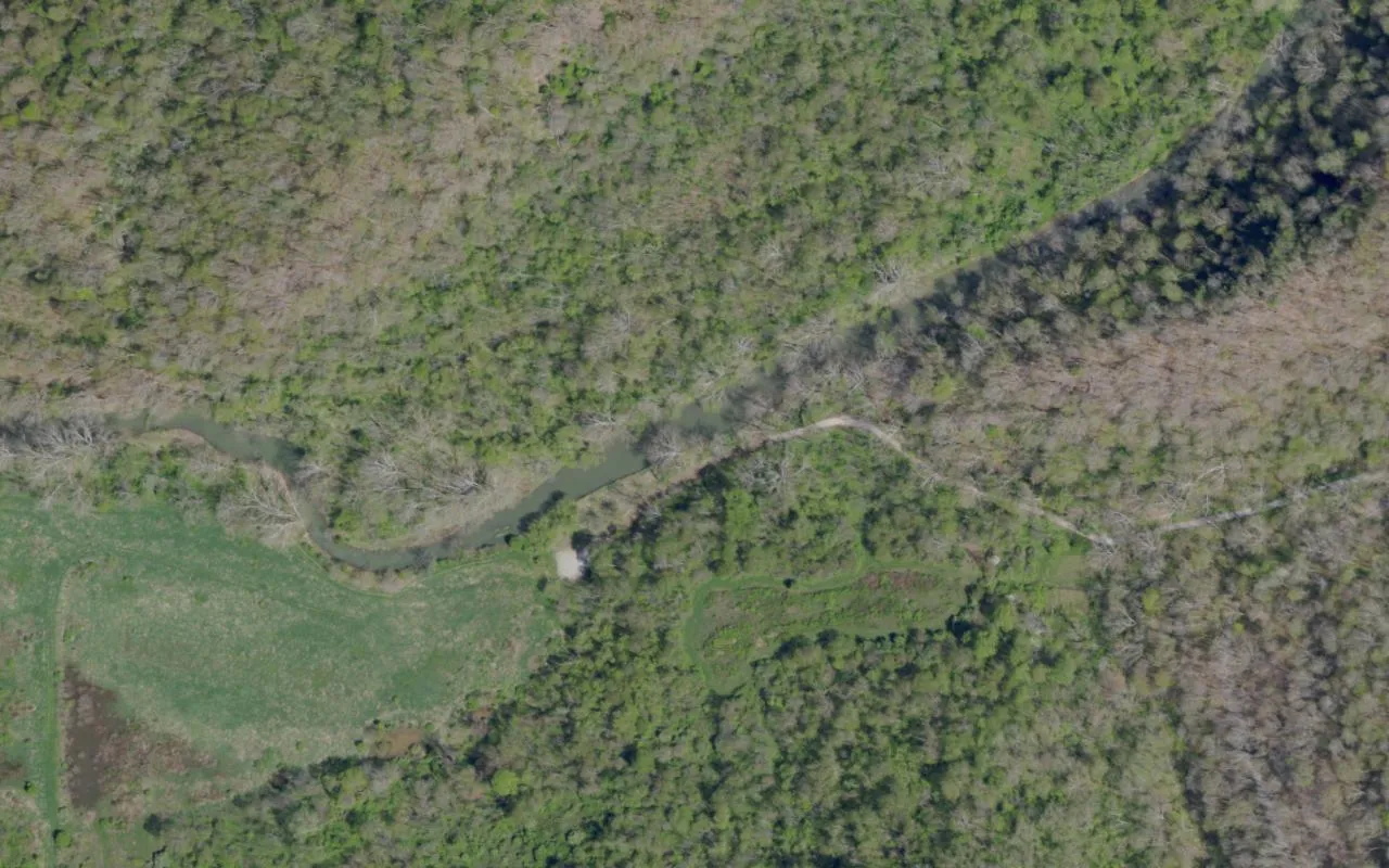
Smokey Hollow
Smokey Hollow is a rural location in northern Richhill Township, Greene County. Local folklore attributes unexplained singing in the area to…
 Outdoors · Aerial view
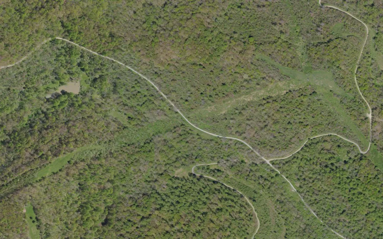
State Game Lands 179 — Roberts Run
State Game Lands 179 consists of wooded tracts in Greene County’s Aleppo, Gilmore and Jackson townships. The Pennsylvania Game Commission describes…
 Outdoors · Aerial view
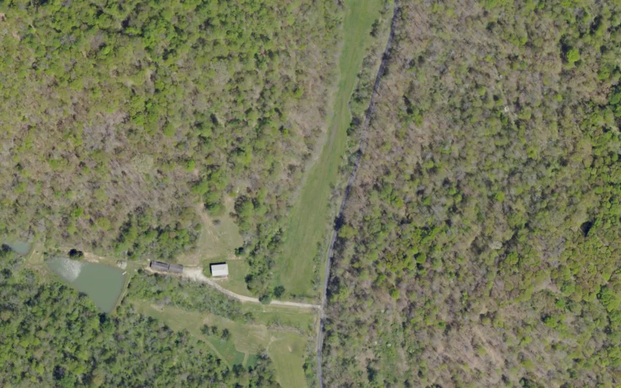
Stewart Run Road
Stewart Run Road meets Oak Forest Road in Center Township, Greene County. State environmental notices identify the road as Township Route 492 and…
 Outdoors · Aerial view
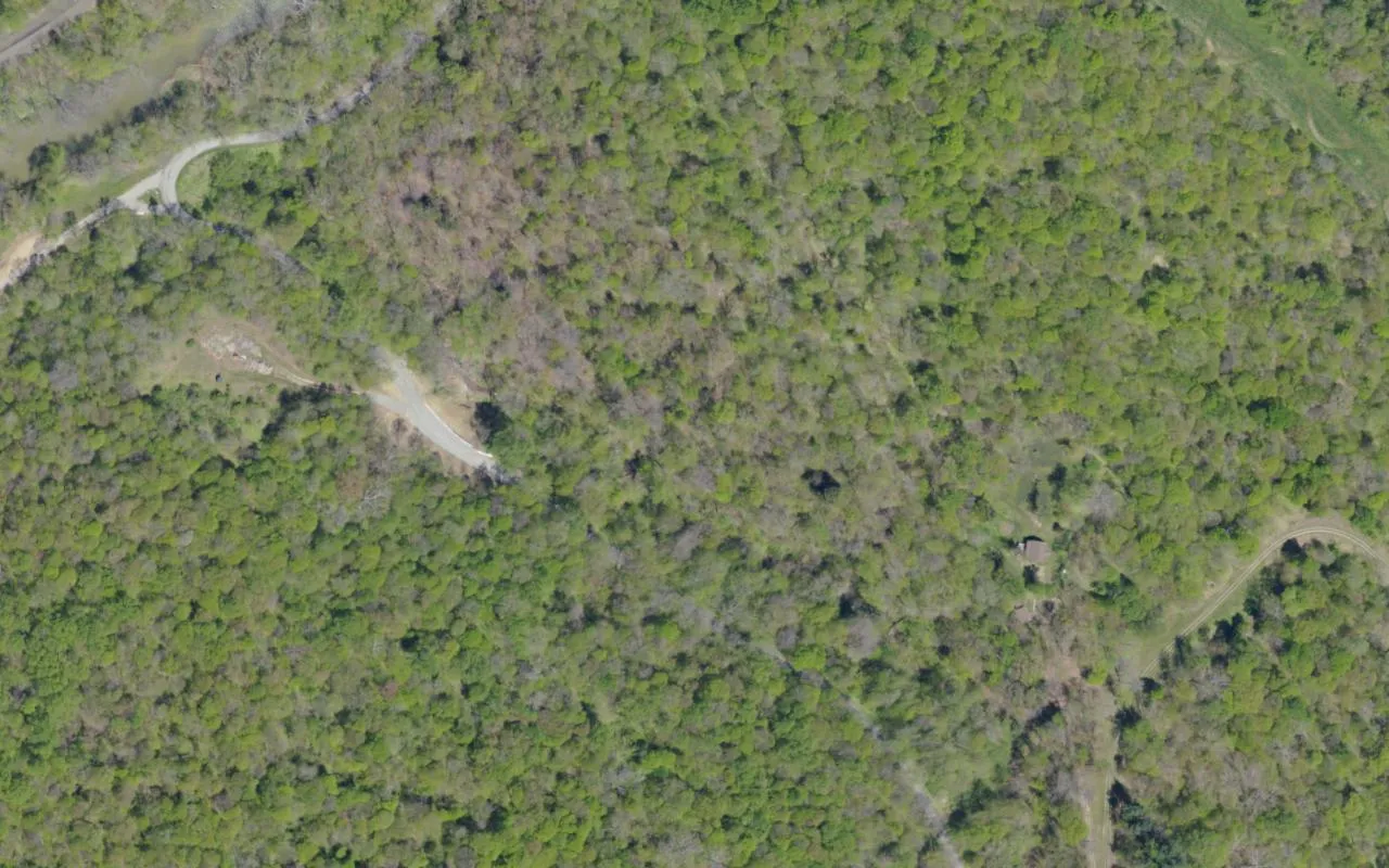
Sugar Camp Road
Sugar Camp Road runs through Jefferson Township in Greene County. Its roadside folklore pairs a goat-headed figure with an unseen hand. The road…
 Culture & landmarks · Historical image
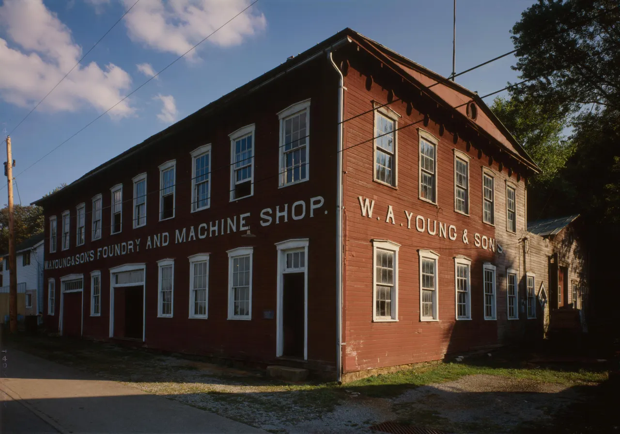
W. A. Young & Sons Foundry and Machine Shop
William A. Young opened this machine shop on Water Street in Rices Landing in 1900 and added a foundry in 1908. The family business made and repaired…