History & local legend
John Reddick served as an associate judge in Beaver County from 1804 until his death in 1830. His burial near the Pennsylvania–Virginia boundary inspired a story in which legal ingenuity saved him from a bargain with the Devil. The neighboring territory was still Virginia then; West Virginia became a state in 1863.
According to the legend, Reddick wagered his soul on his prized white stallion in a midnight race. He insisted that no one interfere with his horse, but overlooked what the opposing animal might do. Whenever Reddick drew ahead, the Devil’s horse breathed fire and frightened the stallion back. Reddick lost.
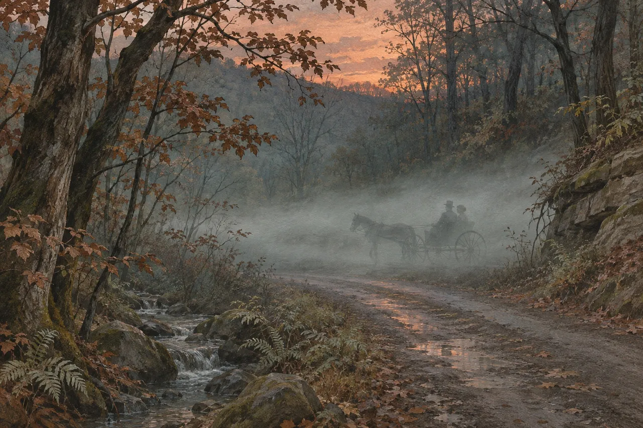
He then instructed his family to bury him across the state line, with his head in Virginia and his feet in Pennsylvania. When the Devil arrived, Reddick demanded the proper legal papers. Each time papers came from one state, he moved to the other side of the grave and forced the process to begin again. Local tellers also describe a white horse and rider galloping along Hardins Run Road, linking the judge’s supposed victory to the landscape around his burial place.
Sources
- Fort Vance Historical Society, Judge John R. Reddick’s Grave, the white stallion, terms of the wager, burial request and boundary resurvey
- The Pennsylvania Rambler, Legend of Judge Reddick’s Grave, 1888 county history, 1953 Pittsburgh Press illustration, extradition story and the rider reported on Hardin’s Run Road
- Beaver County Historical Research and Landmarks Foundation, Pioneer Cemeteries, grave’s cut-stone enclosure, judge’s tenure and border tradition
- U.S. Census TIGERweb, Hardins Run Road in Hanover Township
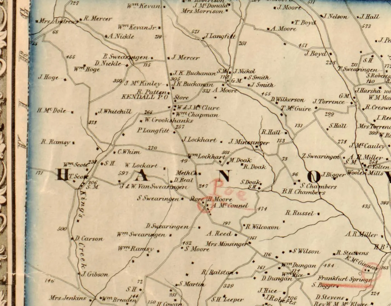
- Library of Congress, N. S. Ames, Map of Lawrence and Beaver Counties (1860), Hanover Township and its Virginia boundary