History & local legend
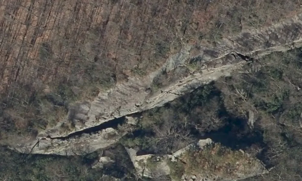
White Rocks, a cliff on Chestnut Ridge above the Fairchance area, is associated with the death of Mary “Polly” Williams in 1810. Her body was found beneath the rocks after she had gone to meet Philip Rogers, the man she expected to marry. Rogers was charged with murder and tried, but acquitted.
The verdict did not settle the story in local memory. Songs cast Polly as a betrayed young woman killed by the man who had promised to become her husband, and the inscription on her grave in Little White Rock Cemetery likewise accuses her intended groom. Those retellings carried her name beyond Fayette County.
The cliff developed its own ghost tradition. Polly is said to appear on the ledge in fog and mist, still looking for her lover. Marks in the rock are sometimes described as scratches she made while trying to hold on.
Sources
- Contemporary Pennsylvania newspaper account of Polly Williams’s death and suspicion of Philip Rogers, 1810, in Genealogical Society of Pennsylvania newspaper extracts
- Robert Wilhelm, Murder by Gaslight, quotation from the indictment, trial and acquittal, ballad tradition and epitaph
- Ron Ieraci, Polly Williams and White Rock, specific ledge apparition, scratches and cemetery
- Frank Cowan, Southwestern Pennsylvania in Song and Story, 19th-century publication, pp. 141 onward, Chestnut Ridge location and circulation of the ballad
- Western Pennsylvania Conference, United Methodist Church, White Rock church history identifies Polly’s cemetery and the legend of the mountain cliff
- OpenStreetMap, named White Rocks cliff in Georges Township, Fayette County
- Pennsylvania Emergency Management Agency, Cycle 2 orthophotography of the outcrop